Beaches and the adjacent nearshore ocean are important. Land-based sediments, chemicals, biota, and fresh water must cross this region to enter the deep ocean. Moreover, most people live within 100 miles of a shoreline that changes constantly as winds, waves, and currents move sand along and across the beach.
Our goal is to understand and model waves, currents, and sand movement in the nearshore, surf, and swash (eg, the beach face).
Given weather conditions (winds, offshore waves), a map (offshore islands, canyons, shoals, nearshore sandbars, the slope of the beach face), and sediment characteristics, we want to predict:
- wave height and direction along the coastline
- current strength and direction in the surf and swash
- beach erosion and accretion
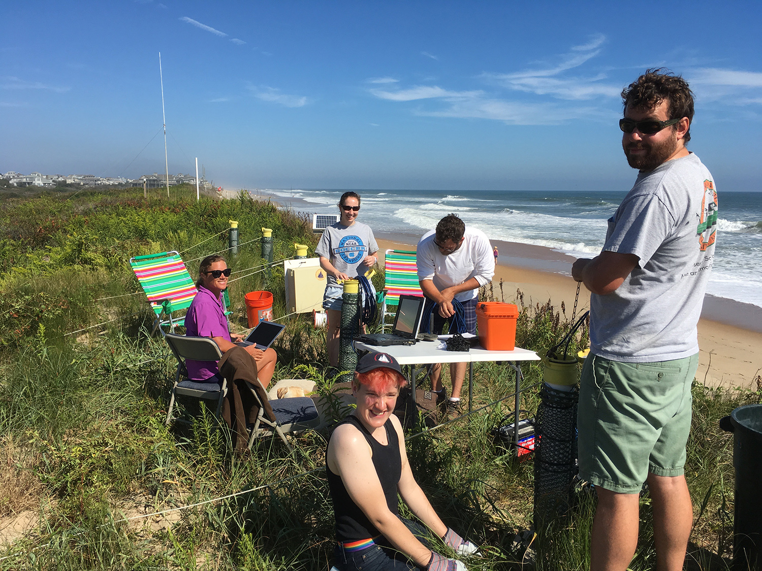
We test and improve models by comparing their predictions with observations (see photos below) of waves, currents, and beach evolution.
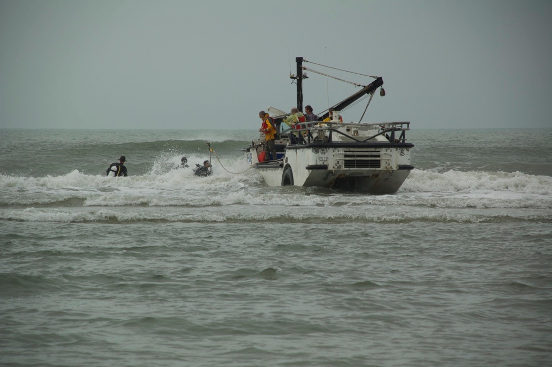
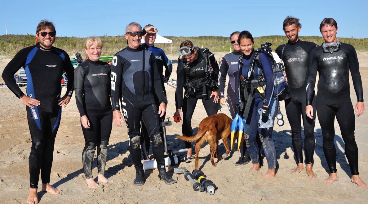
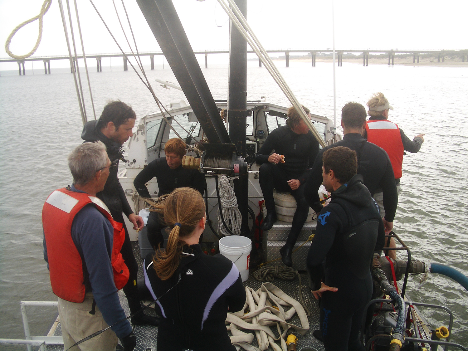
The surf and swash zones are harsh environments. Sensors are pounded by huge waves and sand blasted by strong, sediment- and debris-laden currents. Frames fixed to the seafloor can be buried by moving sandbars or undermined by erosion.
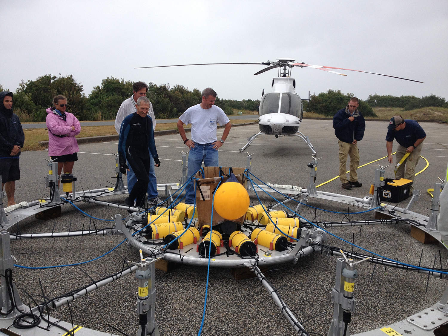
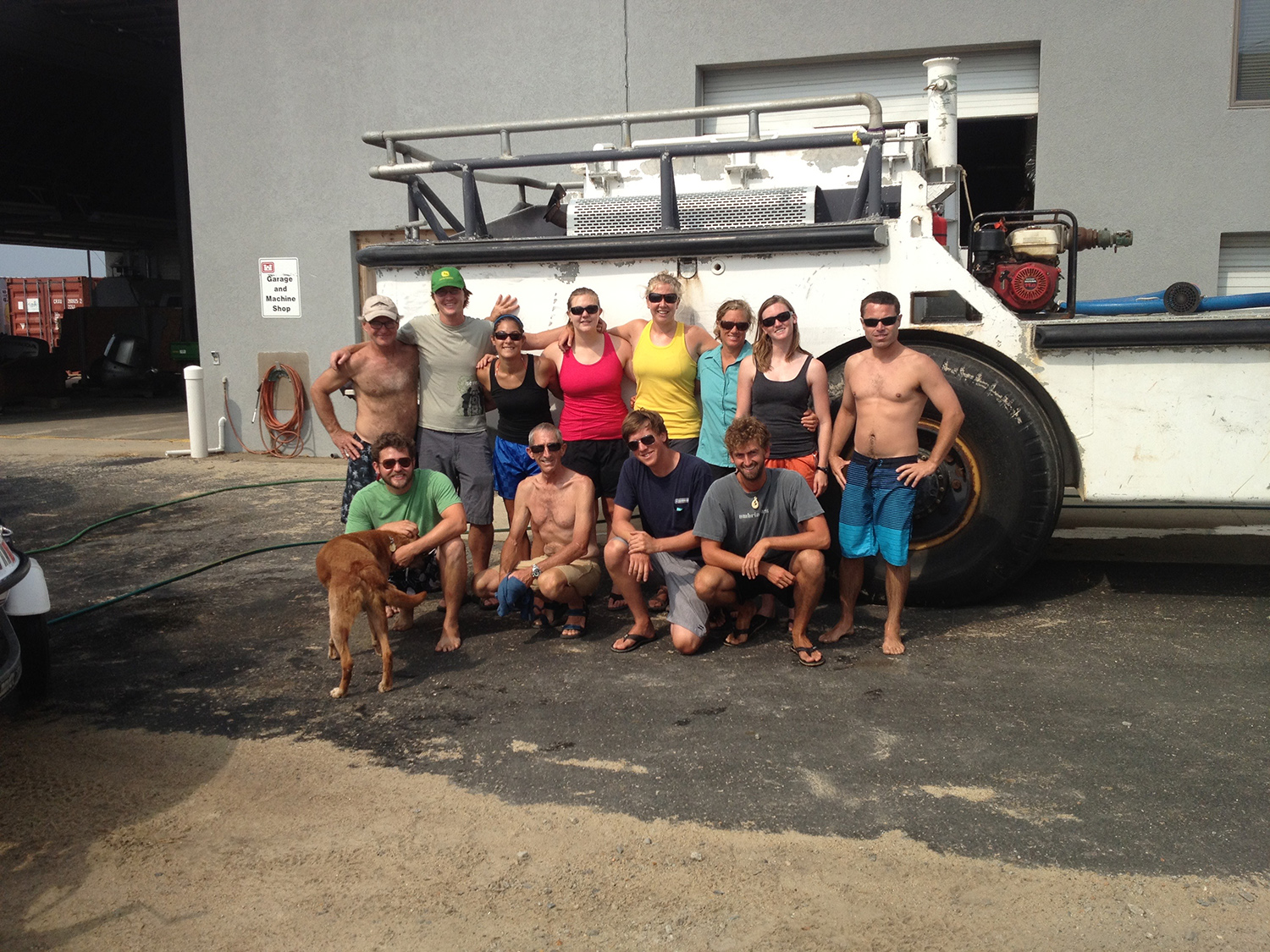
Obtaining field observations requires a crew of specialized engineers and technicians to design, deploy, and maintain instruments and mounts.
Projects:
Support for our research is provided by
![]()
![]()
![]()
![]()
![]()